
Overlanding Trip Planning
The following are lists and resources I use for planning a trip, taking a trip and packing for a trip.

Pack Lists
Short trip to the local OHV or long distance overlanding, packing the right gear is important. There is room for difference of opinion and my lists change all the time. An example, I recently shed 60# off my tools bags I take on trips. It's rather minimal now but covers most needs. Having said that, if you are going on the Rubicon, you may want to throw in an axle or drive shaft, all trips will have their own special needs based on experience. This is a start, it will be flavored by your needs; with kids, with dogs, with aligators, with the in-laws...
Washington Backcountry Discovery Route (WABDR) Planning and Resources
I've done parts of the WABDR several times now, not quite making it all in one trip. The goals are the same, but the route changes a bit.
Download GPS Tracks for WABDR | Order Paper Map of the Route | Interactive Planning Map (with fires, washouts, etc)
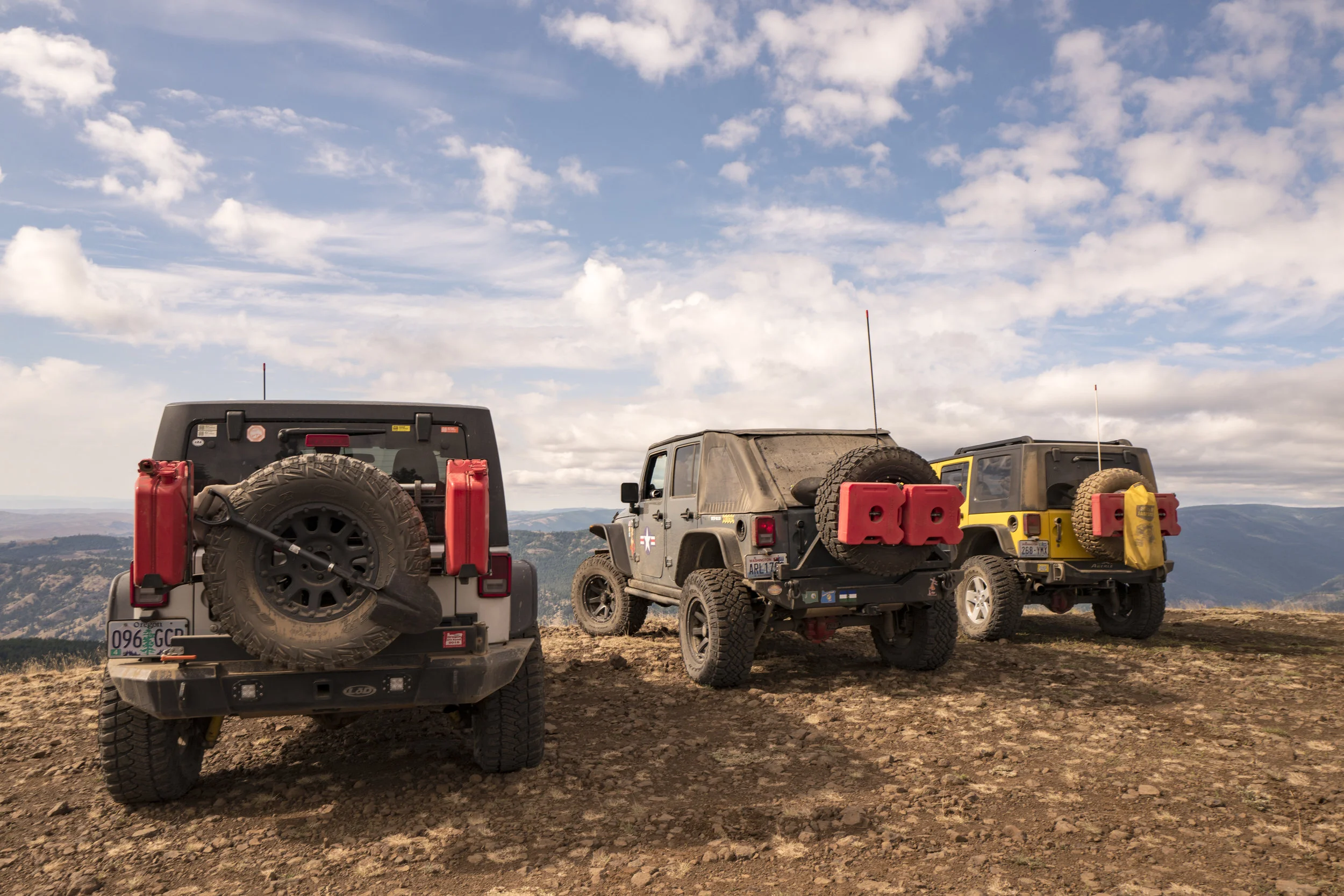
August 2018 Trip Details (August 9-12, 2018)
Starting in Vancouver, WA, entering the trail in Stevenson, most likely end in Nile, Wa on Sunday. List of lat. and longs of points along they way to Nile, Wa:
(Listing South to North)
Oregon Border - Bridge of the Gods 45.662372 -121.901227 on the route.
Stevenson - Food, Gas, Lodging 45.69355 -121.88397 on the route.
Walking Man Brewing 45.69244 -121.884063 on the route.
Trail Peak Viewpoint 45.903024 -121.621692 on the route.
Guler Ice Caves 45.961304 -121.632589 side trip.
Babyshoe Ridge Viewpoint 46.26871 -121.61914 side trip.
Takhlakh Lake 46.280092 -121.59855 on the route.
Horseshoe Lake 46.310019 -121.567262 side trip.
Walupt Lake 46.423009 -121.4733 side trip.
Packwood - Food, Gas, Lodging 46.604223 -121.672834 on the route.
White Pass 46.638513 -121.39007 on the route.
Rimrock Lake Resort 46.643045 -121.18004 on the route.
Cash Prairie Camp 46.716149 -121.16367 side trip.
Bethel Ridge Hidden Viewpoint 46.71768 -121.114553 side trip.
Bethel Ridge Rocky Point 46.717532 -121.064483 on the route.
Nile - Food & Gas 46.807566 -120.918012 on the route.
Key Points:
- Pack food and gear for 3.5 days. Prep food for your vehicle but we will all make and eat meals together. No need to coordinate who brings what.
- We may decided to hit a burger place in White Pass and Packwood if we want to.
- We will be passing through gas stations in certain towns. But bring spare gas to be safe.
- Must have a CB in your rig for communication.
- FSR or Ham Handhelds are optional but not required.
- Depending on how many go, we may have to cap the participants due to possibly limited camping areas.
- Don't bring a mega tent or camp setup, quick setup, take down, and small as possible footprint is key.
- Bugs can be bad this time of year, pack the bug spray.
- We may be lucky enough to camp near some great trout streams and lakes, pack some light fishing gear if you wish but make sure you have your fishing license. Fishing would have to be done early or late as we will be setting camp when we want to later in the day and getting up and going when everyone is ready. This is a vehicle distance trip, not a camp trip specifically.
- Bring camera gear, I will. And we do stop for great photo ops, tripods and all.
- Camp fires may or may not be possible but brining a bit of wood is fine. Just depends on if we camp where fires in designated areas is ok.